McBride Works (Line Hill)
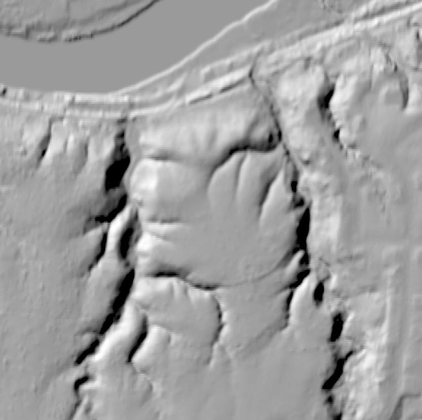
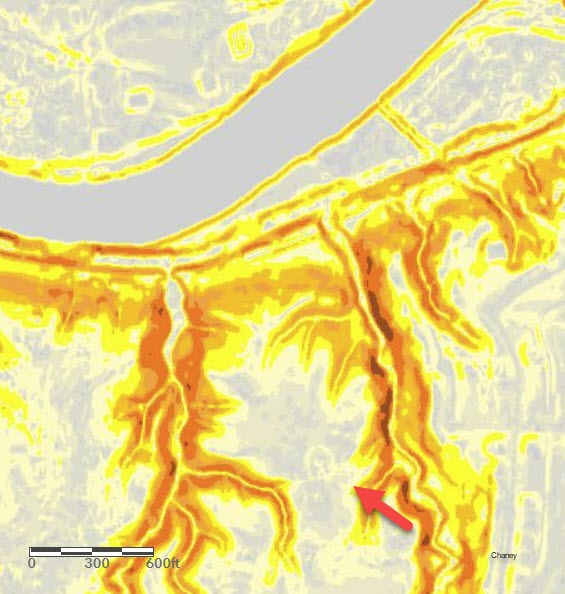
This Earthwork is near the Great Miami River in Butler County near Hamilton Ohio. It is a Hilltop Enclosure following the contours of the topography of the hill it is built upon. Surveyed by James McBride. It is now a Metro Park and protected.
James McBride
"This work occurs on the bank of the Great Miami river, four miles above the town of Hamilton, in Butler county, Ohio, and is one of the most interesting hill-works known. It corresponds in all essential particulars with those of the same class already described. It occupies the summit of a promontory cut from the table lands bordering the Miami river, which upon three sides presents high and steep natural banks, rendered more secure for purposes of defence by artificial embankments thrown up along their brows. The remaining side is defended by a wall and ditch, and it is from this side only that the work is easy of approach. The walls are low, measuring at this time but about four feet in height. The area enclosed is level, subsiding somewhat towards the north, so as to form a sort of natural terrace along the river. Previous to the construction of the Miami canal, this terrace was eight or ten rods wide, having a perpendicular bank next the river, some fifty or more feet high. Upon this terrace are situated several small mounds. The point indicated by c in the plan is the most elevated within the enclosure. The ground here was intermixed with large stones, most of which were removed in building the canal. Among them, it is said, were found several human skeletons, and also a variety of carved stone implements.
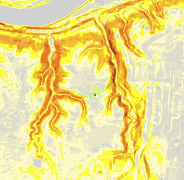
The most interesting feature in connection with this work is the entrance on the south, of which the enlarged plan can alone afford a fair conception. The ends p022of the wall curve inwardly as they approach each other, upon a radius of seventy-five feet, forming a true circle, interrupted only by the gateways. Within the space thus formed, is a small circle one hundred feet in diameter; outside of which and covering the gateway is a mound, e, forty feet in diameter and five feet high. The passage between the mound and the embankment, and between the walls of the circles, is now about six feet wide. The gateway or opening d is twenty feet wide. This singular entrance, it will be remarked, strongly resembles the gateways belonging to a work already described (Plate VI.), although much more regular in its construction.
The ditches, f f, which accompany the wall on the south, subside into the ravines upon either side. These ravines are not far from sixty feet deep, and have precipitous sides, rendering ascent almost impossible. The mound h is three feet high.
The area of the work is seventeen acres; the whole of which is yet covered with a dense primitive forest. The valley beyond the river is broad, and in it are many traces of a remote population, of which this work was probably the fortress or place of last resort, during turbulent periods."
GIS
Colrain
Butler Co Circle
Pleasent Run
Fortified Hill
Line Hill
Alexandersville
Cincinnati
Mariemont
Turner Group
Camden
Milford
Fosters
Stubbs
Fort Ancient
Perintown
Stonelick
Batavia
Elklick
Eastfork


